
Geomatics · data · territory
Geospatial data that moves your projects forward.
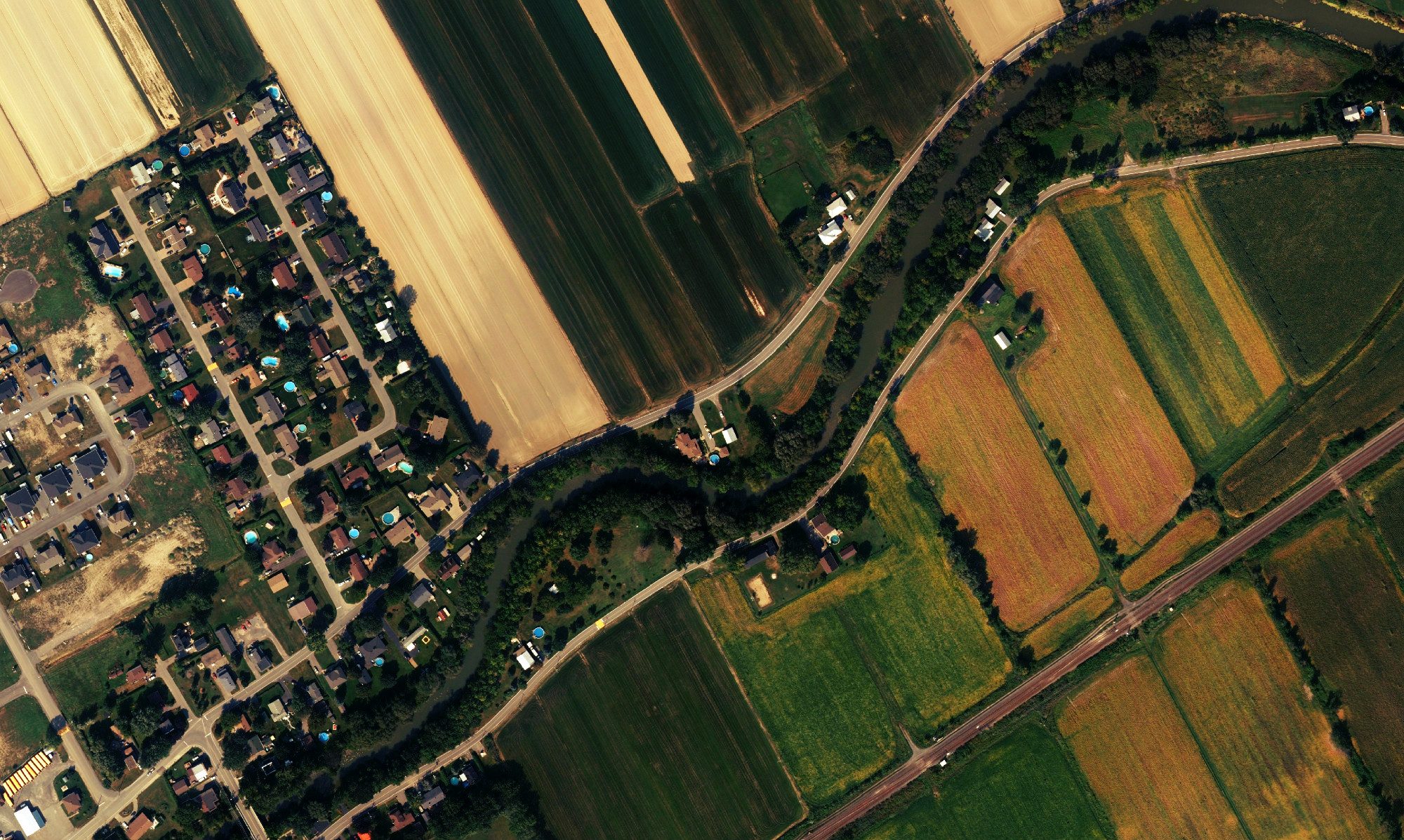
GéoMont provides geomatics services across Québec, including LiDAR data, orthophotos, terrain analysis and interactive mapping for municipalities, regional county municipalities (MRCs) and organizations making decisions about their land.
By sector
A clearer picture of the land for your needs.
Think regionally without adding to your team’s workload.
Regional acquisitions, analysis and shared maps.
↗Deliverables that support your decisions.
Bylaws, permits and environmental priorities.
↗Understand a site before you buy.
A clear preliminary analysis to compare sites.
↗Start with data ready to use.
Terrain, flow and constraints brought together.
↗See your fields from every angle.
Soils, drainage, slopes and historical imagery together.
↗One region, many ways to make a difference.
Explore all the sectors GéoMont works with.
↗By expertise
From raw data to a deliverable worth sharing.
Data acquisition
LiDAR, orthophotos and terrain data acquired at the right scale.
↗ 02Data processing
Clean, structured datasets ready for your team to use.
↗ 03Thematic analysis
Terrain, water, natural areas and other specific land-use questions.
↗ 04Mapping & web platforms
Maps that are easy to use, understand and share.
↗ 05Training & support
A more independent team with its own data and tools.
↗Data & maps
Explore before starting a project.
Public resources offer a quick first look at a region. When a question calls for more detail, GéoMont prepares the right analysis and deliverable.
- Info-Sols : sols, drainage, relief, cadastre et imagerie historique
- LiDAR et orthophotos pour une lecture fine du terrain
- Hydrography, slopes and analysis-ready derivatives
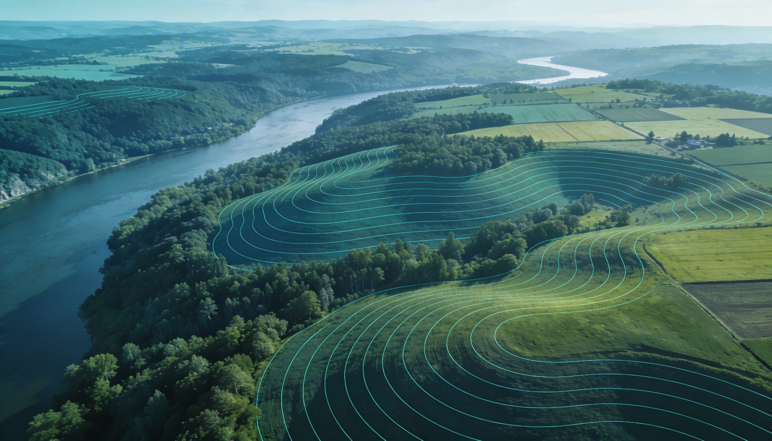 From public exploration to custom analysis: making the same information more useful.
Projects
Projects with lasting value.
Regional orthophotos in Montérégie and Estrie
A shared acquisition serving several regions.
Municipalities · platformTree-cutting permit management
A web map for municipal teams and the public.
Environment · analysisWetland prioritization
Maps and analysis that make priorities clearer.
Quick answers
Common questions before a geomatics project.
What geomatics services does GéoMont offer in Québec?
GéoMont supports data acquisition and processing, thematic analysis, interactive mapping, web platforms, training and support.
What are LiDAR data and orthophotos used for?
They help reveal terrain, slopes, flow, waterways, tree canopy and regional change before you choose an analysis or project.
Who can request a terrain analysis or map?
Municipalities, MRCs, professionals, environmental organizations, businesses and agricultural organizations can request a quote.
Commencer
Have a decision to make?
Tell us about the context, the area and the result you need.