
For engineering and the environment
Reliable terrain data and models for your studies.
Quickly access centralized data and hydrological or environmental analysis on tight timelines.
Usable data
Spend less time preparing data before analysis.
- Terrain models. LiDAR terrain models, watersheds, flow paths and digitized drainage plans.
- Clear methods. RUSLE CAN, IQBR and ecological connectivity to suit the study.
- Exports utiles. Structured data ready for your analysis software.
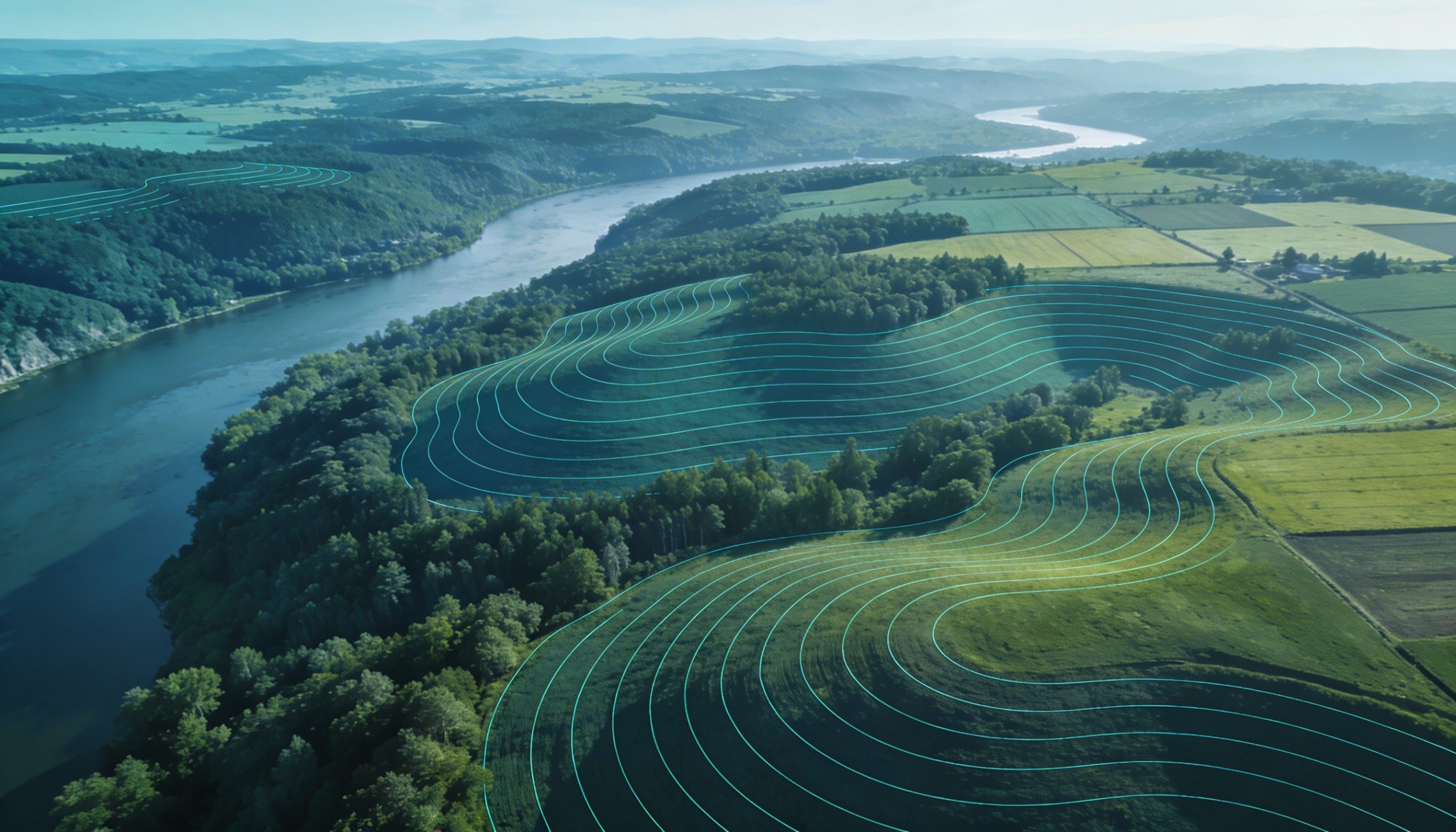 Terrain, flow and hydrography prepared in one view.
Preliminary study
Hydrological data brought together before analysis.
Terrain, flow and hydrography can be reviewed together to reduce preparation time and identify the checks required.
Engineering & environment
Need to put a study in context?
Start with the area, timeline and data to prepare.