
For land surveyors
Know what to expect before you arrive on site.
Prepare each project with better cadastral, topographic and historical context.
20 years of experience1,000+ mandates successfully completed
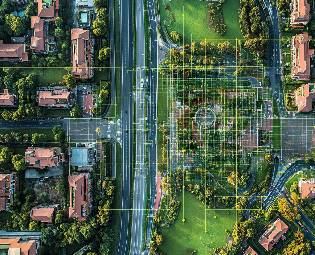
Prepare for fieldwork
Supporting information that complements reserved professional work.
- Know the terrain better. Classified LiDAR, digital terrain models and detailed contour lines to prepare for fieldwork.
- Imagerie historique utile. Georeferenced aerial photos to understand how an area has changed.
- A complementary role. Regional data and context to support your project.
A first look
Compare terrain, cadastral, hydrography and historical data.
The result is a more focused site visit and information that is easier to verify.
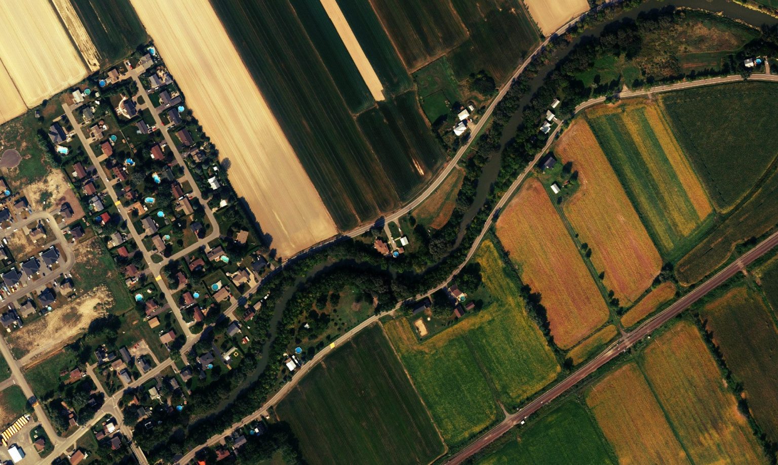 Topographic and historical context to prepare for fieldwork.
Arpentage
Need to prepare regional context?
Tell us the area, project type and level of detail you need.