
For MRCs
Current data and reliable analysis for decisions across your region.
Get useful analysis and mapping when your geomatics team is short on time, without carrying the cost of major data acquisitions alone.
20 years of experience1,000+ mandates successfully completed
What you get
Regional capacity that works at the local level.
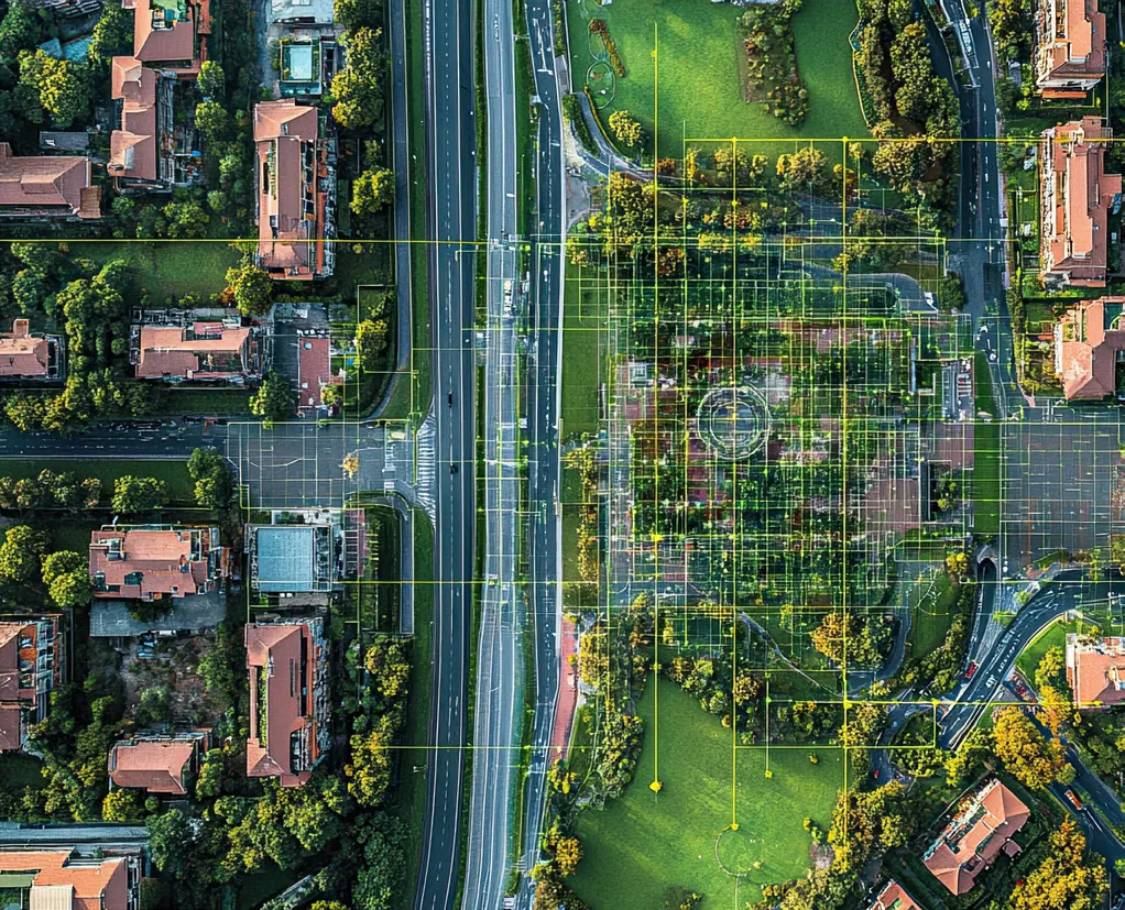
- Shared acquisitions. Orthophotos and LiDAR acquired with other MRCs to share costs.
- Regional analysis. Regional analysis of erosion, wetlands, watersheds and ecological corridors.
- Useful web maps. Maps for councils, municipalities and the public.
 Shared acquisitions, regional analysis and team support.
Project examples
Data that serves an entire region.
GéoMont has taken part in regional orthophoto acquisitions and LiDAR partnerships in Montérégie and Estrie.
- Streambank erosion
- Urban canopy and wetlands
- Runoff and tree-cutting permits
MRC
A regional need to move forward?
Start with the decision, the area and the partners to involve.